East of Kalispell, Jewel Basin's 15,000 acres of larch-filled basins and the Tally Lake Ranger District's Carlton Ridge offer Flathead National Forest gold without Glacier's reservation traffic—two public-access hubs for the same species show.
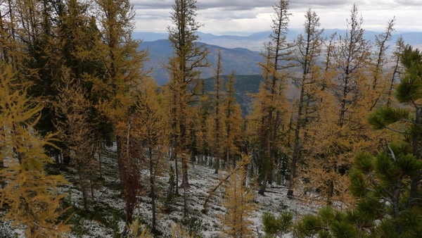
Photo: Forest Service Northern Region / Wikimedia Commons / CC BY 2.0
Jewel Basin trails climb into open larch benches; Tally Ridge and Good Creek Road deliver drive-up views. Combine with a North Fork day for a full northwest palette.
Western Larch
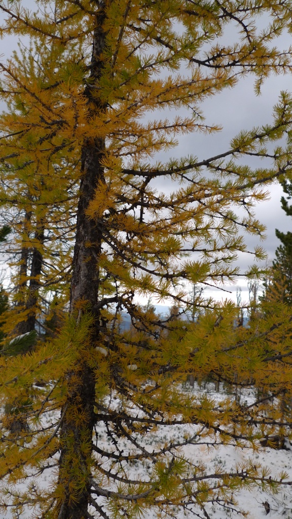
Photo: Forest Service Northern Region from Missoula, MT, USA, Public domain, via Wikimedia Commons
Viewing notes
Map pins mark public viewing hubs—not private ranches or closed tribal land. Fall color is weather-dependent; chase elevation downhill from late September peaks to late-October river corridors.
Viewing ethics
This guide is for viewing and photography only. Stay on durable surfaces, respect wildlife closures, and never collect branches or needles on federal or tribal land.
Visitor Access
- Nearest town: Kalispell
- Color focus: Western Larch
- Best season: Peak early October at basin elevations (~6,000–7,500 ft)
- Access: Jewel Basin Road and Camp Misery trailhead; Tally Lake via Good Creek Road (Forest Road 60). High-clearance helpful on forest roads.
- Reminder: National Parks and Montana State Parks prohibit collecting plants. View from designated routes and pullouts.